
9 DAYS TREK
Northern Circuit Route
Destinations.
Kilimanjaro Mountain
Mount Kilimanjaro Climb – Northern Circuit Route
The Northern Circuit Route is the longest and most scenic route on Kilimanjaro. It offers the best acclimatization profile, making it one of the easiest routes to succeed in reaching the summit despite its long duration. The route circles the mountain from the west to the north, providing stunning panoramic views and fewer crowds.
This route is ideal for adventurous trekkers who want a remote and peaceful climb, as it passes through less-traveled areas of Kilimanjaro. It follows the Lemosho Route for the first few days but then diverts north, offering a unique experience compared to other routes.
Highlights
- Highest summit success rate – best acclimatization route
- Longest and most scenic route – breathtaking 360° views
- Least crowded – remote and peaceful trekking experience
- Encounters with wildlife – possibility of seeing eland and buffalo
Challenges:
- Requires more time (9 days) – higher cost compared to other routes
- Physically demanding due to long duration
- Colder nights due to extended high-altitude exposure
Itinerary
Comprehensive Travel Plan –
A detailed schedule outlining the journey.
Day 1: Londorosi Gate to Mti Mkubwa Camp
- Elevation: 2,100m (6,890ft) → 2,850m (9,350ft)
- Distance: 7 km (4.3 miles)
- Hiking Time: 3–4 hours
- Terrain: Rainforest
The adventure begins at Londorosi Gate, where climbers register and drive to the trailhead. The first hike takes climbers through lush rainforests, home to colobus monkeys and exotic birds. The trail is gentle but slightly muddy, making for an enjoyable introduction to the climb. The day ends at Mti Mkubwa Camp (Big Tree Camp), nestled in the forest.
Day 2: Mti Mkubwa Camp to Shira 1 Camp
- Elevation: 2,850m (9,350ft) → 3,505m (11,500ft)
- Distance: 8 km (5 miles)
- Hiking Time: 5–6 hours
- Terrain: Heath and Moorland
Leaving the rainforest behind, climbers enter the heath and moorland zone, with giant heather and lobelias covering the landscape. The trail climbs steadily toward the Shira Plateau, a vast high-altitude desert formed by volcanic activity. The day ends at Shira 1 Camp, where climbers get their first clear views of Kilimanjaro’s glaciers.
Day 3: Shira 1 Camp to Shira 2 Camp
- Elevation: 3,505m (11,500ft) → 3,850m (12,630ft)
- Distance: 7 km (4.3 miles)
- Hiking Time: 3–4 hours
- Terrain: Moorland
The hike across the Shira Plateau is relatively easy and gradual, allowing climbers to acclimatize while enjoying stunning views of Kibo Peak. The day ends at Shira 2 Camp, where trekkers will experience colder temperatures at night.
(An extra night at Shira 2 is sometimes included for acclimatization.)
Day 4: Shira 2 Camp to Moir Hut (Northern Circuit Begins)
- Elevation: 3,850m (12,630ft) → 4,200m (13,780ft)
- Distance: 9 km (5.6 miles)
- Hiking Time: 5–7 hours
- Terrain: Alpine Desert
Climbers now leave the southern routes and enter the Northern Circuit, a rarely traveled path that offers incredible views of the Kenyan plains. The trail ascends gradually, passing Lava Tower (4,600m / 15,091ft), a famous rock formation where climbers take a short break before descending slightly to Moir Hut, an isolated camp nestled beneath steep cliffs.
Day 5: Moir Hut to Buffalo Camp
- Elevation: 4,200m (13,780ft) → 4,020m (13,190ft)
- Distance: 12 km (7.5 miles)
- Hiking Time: 5–7 hours
- Terrain: Alpine Desert
This section is remote and rarely traveled, providing serene landscapes and excellent acclimatization. The trail includes a moderate ascent, offering breathtaking views of the glaciers, craters, and vast open plains. The day ends at Buffalo Camp, where the temperatures drop sharply at night.
Day 6: Buffalo Camp to Third Cave Camp
- Elevation: 4,020m (13,190ft) → 3,870m (12,700ft)
- Distance: 8 km (5 miles)
- Hiking Time: 4–5 hours
- Terrain: Alpine Desert
The trek continues through rugged terrain and rocky ridges, offering a sense of solitude not found on other Kilimanjaro routes. The views of the northern slopes and Kenyan savannah are spectacular. The hike is relatively short, allowing climbers to rest and further acclimatize at Third Cave Camp.
Day 7: Third Cave Camp to School Hut
- Elevation: 3,870m (12,700ft) → 4,750m (15,580ft)
- Distance: 10 km (6.2 miles)
- Hiking Time: 4–6 hours
- Terrain: Alpine Desert
The final day before the summit push is a gradual climb through barren landscapes leading to School Hut, the last high-altitude camp. Climbers eat early and rest in preparation for the midnight summit attempt.
Day 8: School Hut → Uhuru Peak → Mweka Camp
- Elevation: 4,750m (15,580ft) → 5,895m (19,341ft) → 3,100m (10,170ft)
- Distance: 20 km (12.4 miles)
- Hiking Time: 12–16 hours
- Terrain: Ice, Snow, and Rock
The summit attempt begins at midnight, following a steep, slow ascent to Gilman’s Point (5,685m). From here, climbers push forward along the crater rim to Uhuru Peak (5,895m), the highest point in Africa.
After celebrating at the summit, climbers descend back to School Hut, take a short break, and continue down to Mweka Camp, where the air feels richer in oxygen.
Day 9: Mweka Camp to Mweka Gate
- Elevation: 3,100m (10,170ft) → 1,640m (5,380ft)
- Distance: 10 km (6.2 miles)
- Hiking Time: 4–5 hours
- Terrain: Rainforest
The final descent through the rainforest leads to Mweka Gate, where climbers receive their summit certificates before heading back to Moshi or Arusha for well-earned celebrations.
Trip Add-ons
Enhance Your Safari. Tailor Every Moment to Perfection!

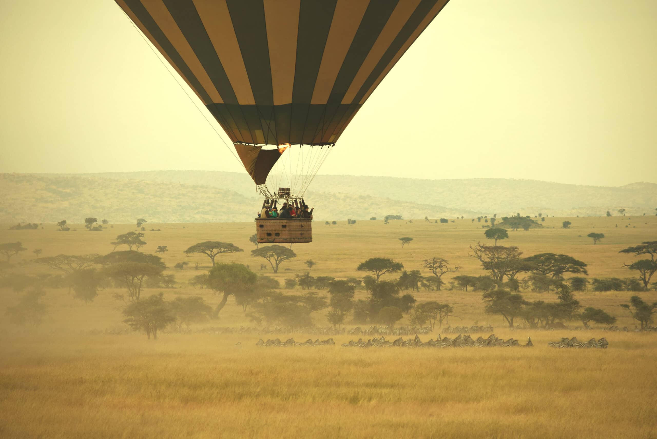
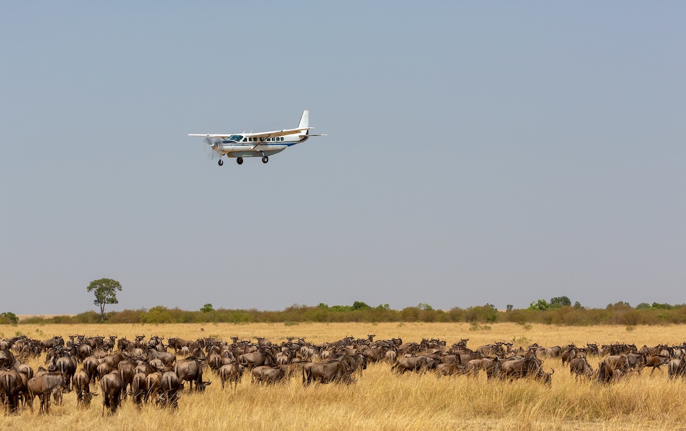
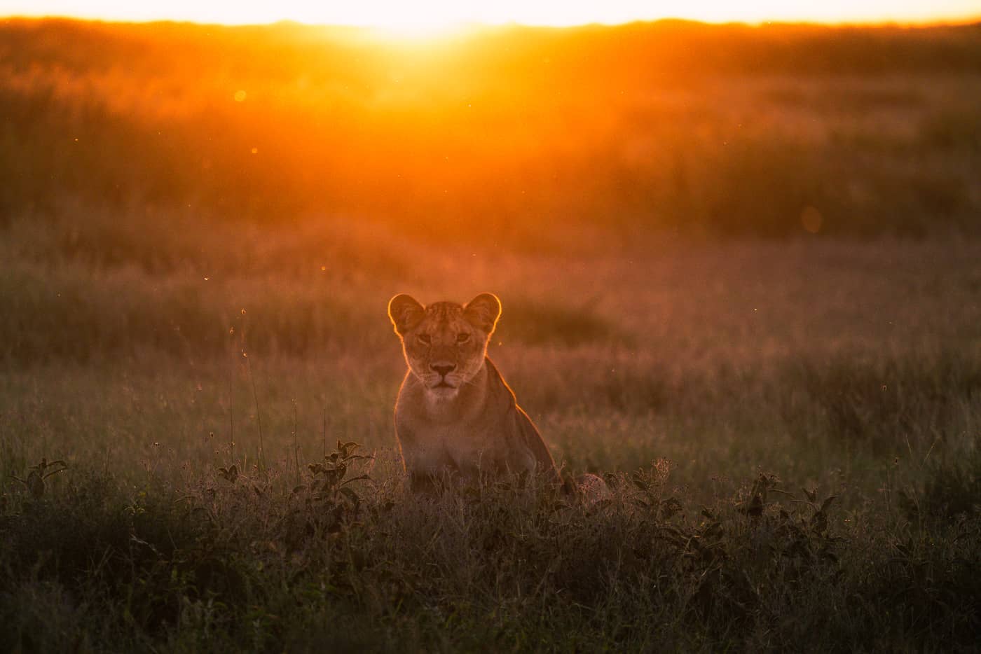
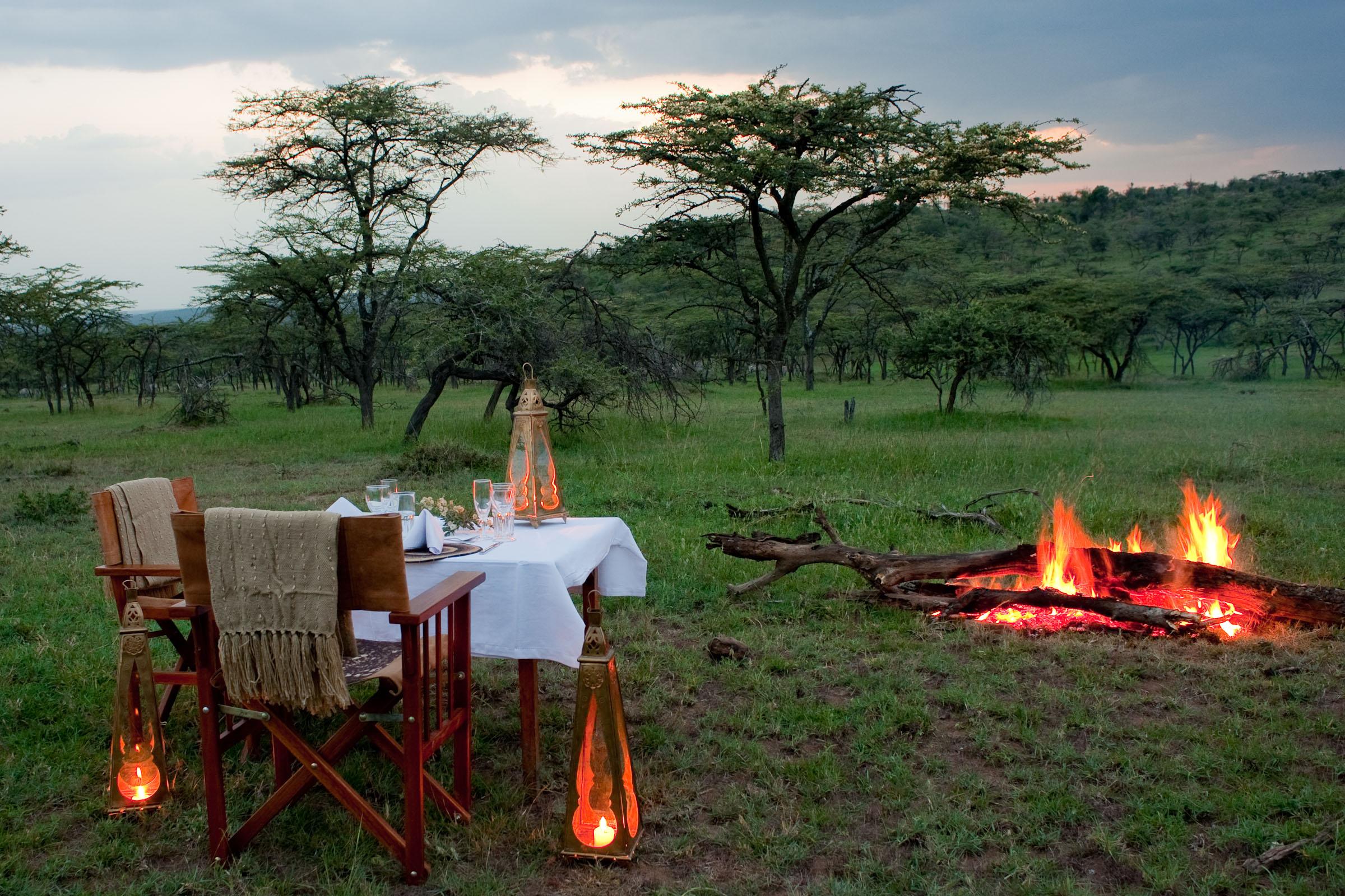

Design Your Bespoke Safari Journey
The Northern Circuit is the ultimate route for trekkers who want the best chance of summiting Kilimanjaro with minimal crowds and stunning landscapes. It offers a gradual ascent, excellent acclimatization, and breathtaking views of both the northern and southern sides of Kilimanjaro.
Would you like help with packing lists, fitness preparation, or planning a safari after your climb?