Stone Town Tour

HALF DAY TOUR

Stone Town Tour

Destinations.

Zanzibar

Exclusive Safari Retreat

Stone Town, the historic heart of Zanzibar, is a UNESCO World Heritage Site known for its rich history, diverse culture, and unique architecture. This tour takes you through its maze-like alleys, past centuries-old buildings, bustling markets, and cultural landmarks that tell the story of Zanzibar’s Arab, Persian, Indian, and European influences.

Highlights

  • Walk through the narrow, bustling streets of this UNESCO World Heritage Site.
  • Visit the House of Wonders, a former Sultan’s palace showcasing Swahili and Arabian history.
  • Explore the Old Slave Market and Anglican Cathedral, learning about Zanzibar’s dark history in the slave trade.
  • Check out the Sultan’s Palace Museum, showcasing artifacts from the Omani rule.
  • Discover the Forodhani Night Market, where you can taste local delicacies like Zanzibar pizza and seafood.

Itinerary

Comprehensive Travel Plan –
A detailed schedule outlining the journey.

The House of Wonders (Beit-al-Ajaib)

The House of Wonders is one of Stone Town’s most famous landmarks. Built in 1883 by Sultan Barghash, it was the first building in Zanzibar to have electricity and an elevator—a true marvel at the time!

What to See:

  • Traditional dhows (sailing boats) on display, representing Zanzibar’s maritime history.
  • Swahili artifacts and antiques showcasing local traditions.
  • The grand verandas and balconies, offering a great view of Stone Town.

Note: The building has been under restoration due to structural damage, but its exterior remains an iconic sight.

Old Slave Market & Anglican Cathedral

Zanzibar played a major role in the East African slave trade, and this site offers a moving insight into its dark past.

What to See & Learn:

  • The underground slave chambers, where captives were kept in cramped, airless conditions before being sold.
  • The Anglican Cathedral, built in 1873 on the former slave market site, as a symbol of abolition.
  • The altar, which stands where the whipping post used to be, reminding visitors of the brutality enslaved people faced.
  • The memorial monument, featuring life-sized sculptures chained together, symbolizing the suffering of enslaved Africans.

Fun Fact: The abolition of slavery in Zanzibar was led by British missionary Dr. David Livingstone, whose efforts influenced the Sultan’s decision to end the trade.

The Sultan’s Palace Museum (Beit-al-Sahel)

Once home to Zanzibar’s ruling family, this palace-turned-museum is a window into the lavish lifestyle of the Sultans.

What to See:

  • Personal belongings of the Sultans, including royal furniture, jewelry, and letters.
  • The story of Princess Salme, a rebellious Zanzibari princess who eloped with a German trader and wrote the famous book Memoirs of an Arabian Princess from Zanzibar.
  • Beautiful Persian carpets, chandeliers, and ancient wooden doors, showcasing Middle Eastern and Swahili influences.Tip: The palace offers stunning views of the Indian Ocean, perfect for photos!

The Old Fort (Ngome Kongwe)

Built in the late 17th century by the Omanis, this is the oldest building in Stone Town. It was originally constructed to defend Zanzibar against Portuguese invaders.

What to See & Do:

  • Walk through the ancient stone walls that once housed soldiers and prisoners.
  • Explore the amphitheater, which now hosts live music, cultural performances, and festivals.
  • Visit the market stalls inside the fort, where you can buy handmade crafts, paintings, and souvenirs.

Fun Fact: The Old Fort is now home to Zanzibar’s Film Festival (ZIFF), held every July, featuring African and international films.

Darajani Market – The Bustling Bazaar

This is Stone Town’s main market, a lively and colorful place where locals buy fresh produce, spices, and fish.

What to See & Experience:

  • Spice stalls selling cloves, nutmeg, cinnamon, and more—the true flavors of Zanzibar.
  • The fish market, where fishermen bring in the day’s fresh catch.
  • Local street food, including Zanzibar’s famous Urojo (a spicy soup) and fried cassava.

Tip: This is a great place to buy spices as souvenirs, but don’t forget to bargain!

Freddy Mercury’s House

Did you know Freddie Mercury, the legendary lead singer of Queen, was born in Zanzibar?

What to See:

  • The house where Freddie Mercury was born and raised before moving to England.
  • A small museum with photos, memorabilia, and stories about his early life.
  • A souvenir shop selling Queen-inspired T-shirts and collectibles.

Fun Fact: Freddie Mercury was born Farrokh Bulsara to Persian-Indian parents who lived in Zanzibar.

Forodhani Gardens – Evening Street Food Market

A popular waterfront park by the sea, where locals and tourists gather to enjoy Zanzibari street food.

What to Eat & Do:

  • Zanzibar Pizza – A must-try! A crispy, stuffed pancake with savory or sweet fillings.
  • Grilled seafood skewers – Fresh fish, lobster, and prawns cooked on open grills.
  • Sugarcane juice with ginger – A refreshing local drink.

Tip: Visit at sunset for the best atmosphere, as the gardens come alive with music and people.

What to Expect on the Tour

  • A guided walking tour through historic streets and landmarks.
  • Insights into Zanzibar’s Swahili culture, Arab heritage, and colonial influences.
  • Plenty of photo opportunities at iconic sites.
  • Time to shop for souvenirs, including spices, handicrafts, and traditional fabrics.

What to Bring

  • Comfortable walking shoes (you’ll walk a lot!)
  • Light, breathable clothing (modest attire recommended for cultural sites)
  • Hat & sunglasses for sun protection
  • Camera or phone for great photos
  • Some cash for shopping and food

Why You’ll Love This Tour

  • Rich History & Culture – Discover the fascinating mix of African, Arab, Indian, and European influences.
  • Beautiful Architecture – Explore ancient stone buildings, wooden balconies, and carved doors.
  • Vibrant Atmosphere – Feel the energy of bustling markets, street musicians, and local life.
  • Tasty Local Food – Try delicious Swahili dishes and fresh seafood.


Design Your Bespoke Safari Journey

Would you like help booking a tour or customizing your itinerary?
Excursions

ZANZIBAR

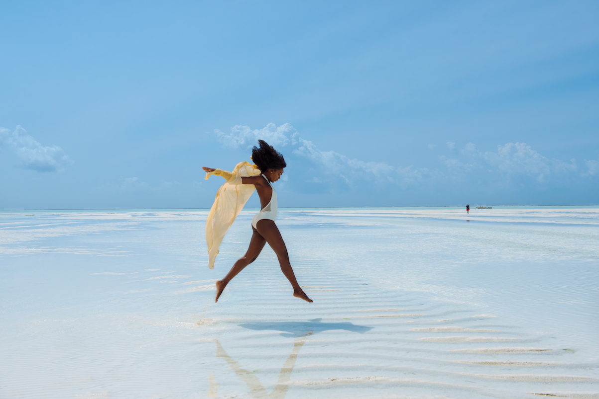
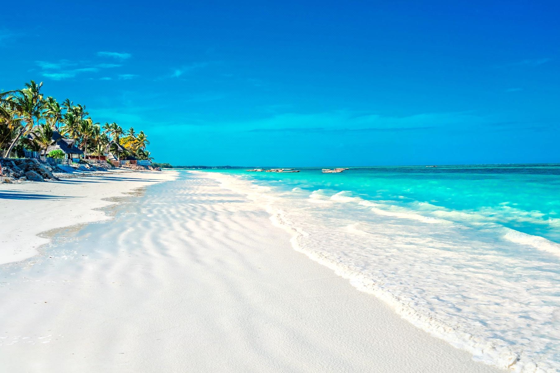
tanznaia beaches

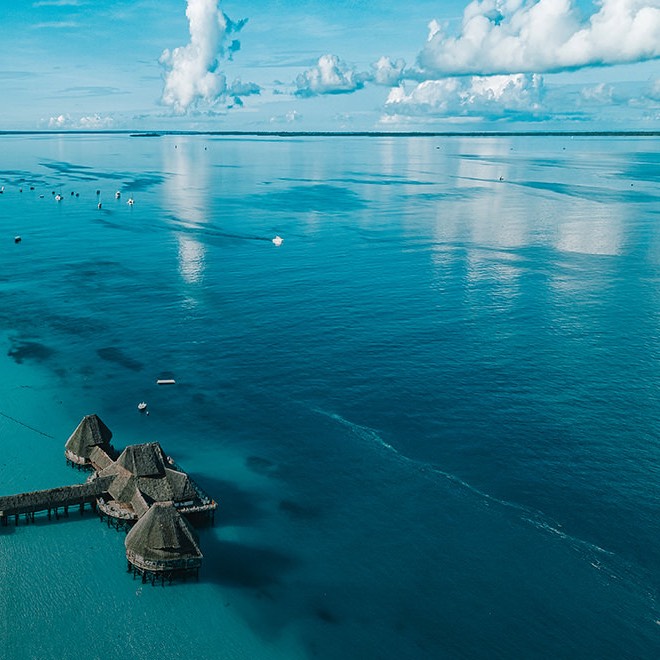
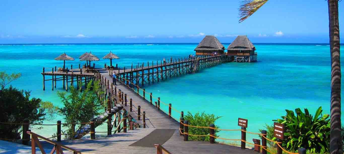
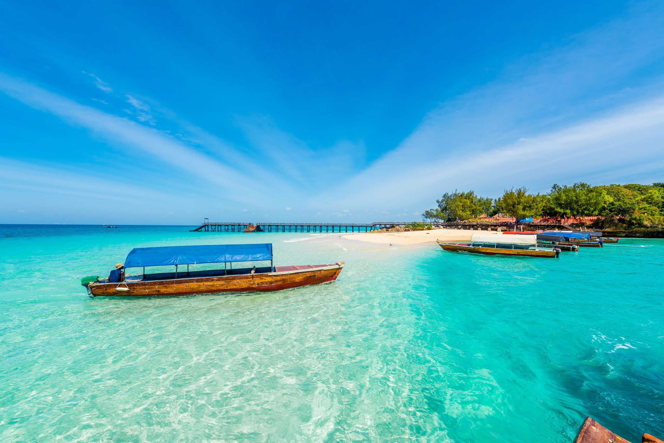
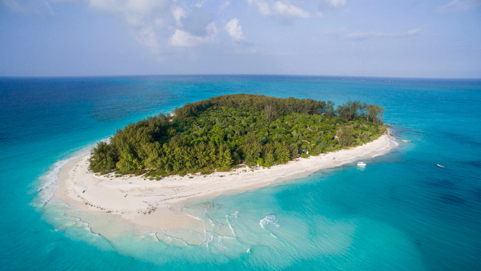
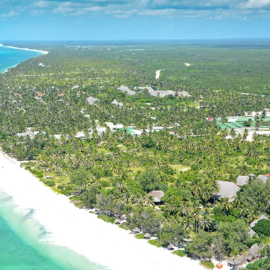
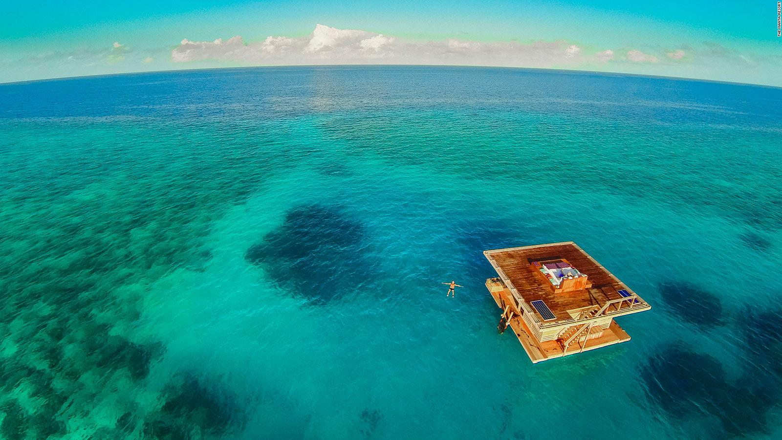
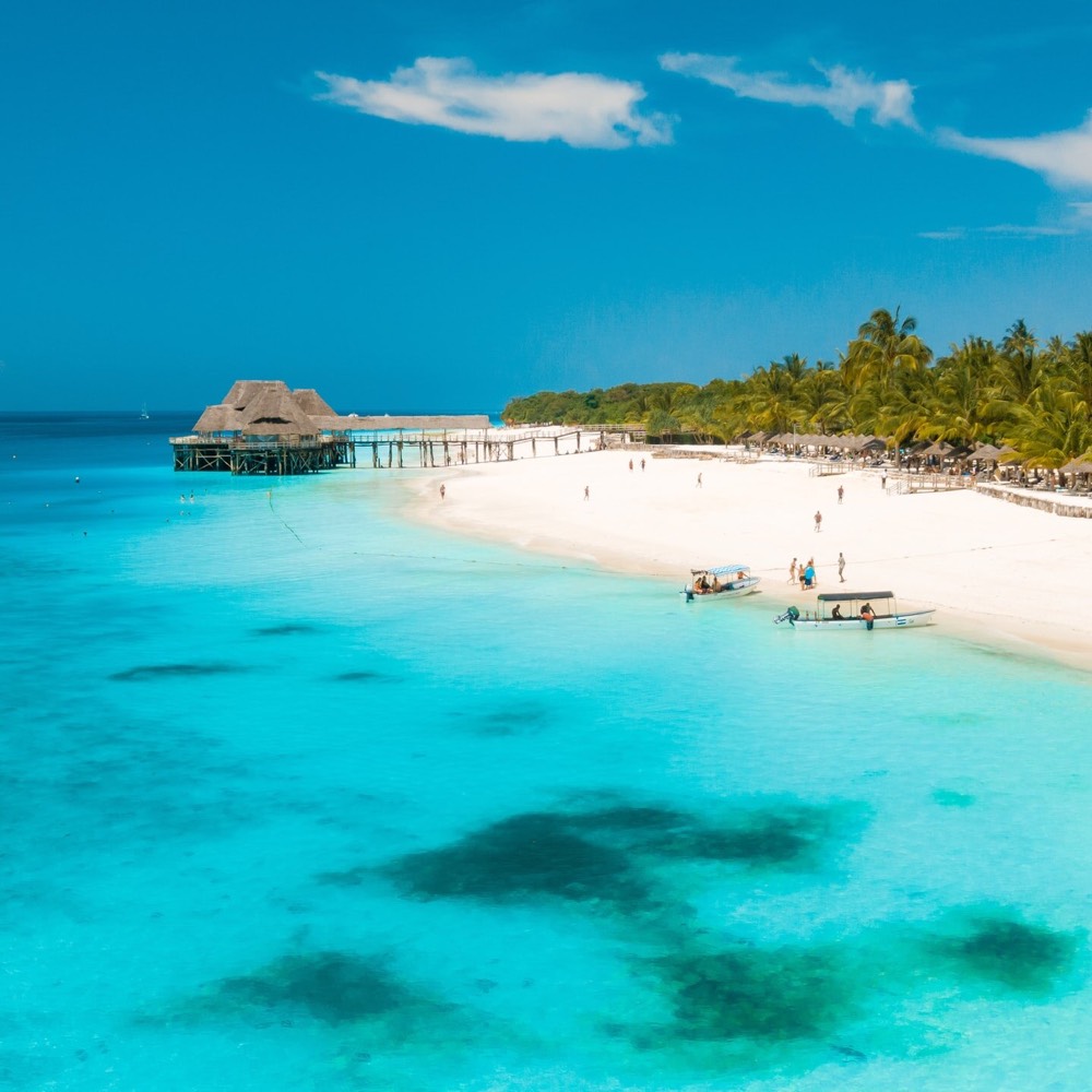
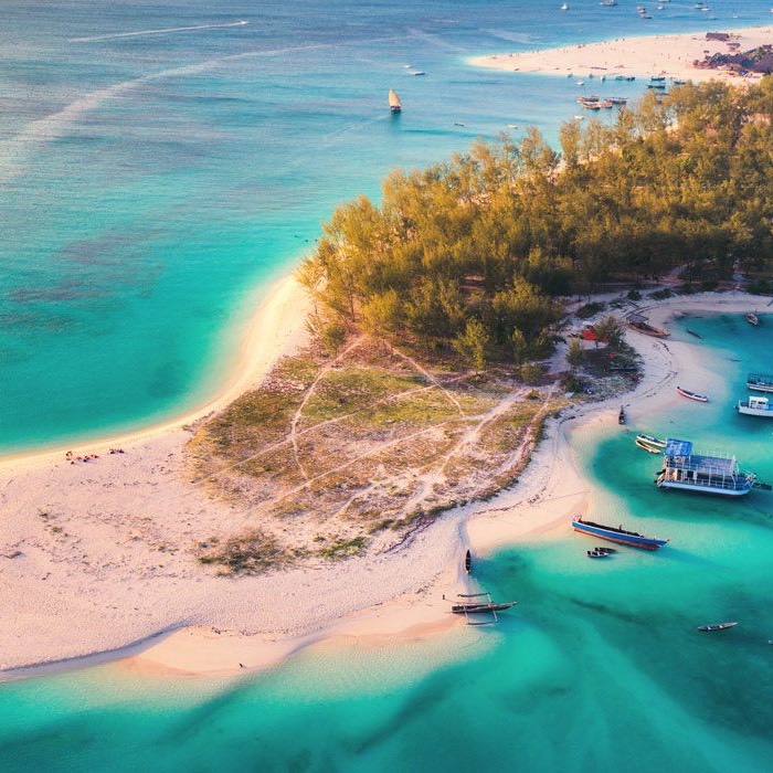
Zanzibar is the semi-autonomous part of Tanzania in East Africa. It is composed of the Zanzibar Archipelago in the Indian Ocean, 25–50 kilometres (16–31 mi) off the coast of the mainland, and consists of many small islands and two large ones: Unguja (the main island, referred to informally as Zanzibar) and Pemba. The capital is Zanzibar City, located on the island of Unguja. Its historic centre is Stone Town, which is a World Heritage Site.

ZANZIBAR ISLAND

THE LAND OF SPICES AND ANCIENT HISTORY

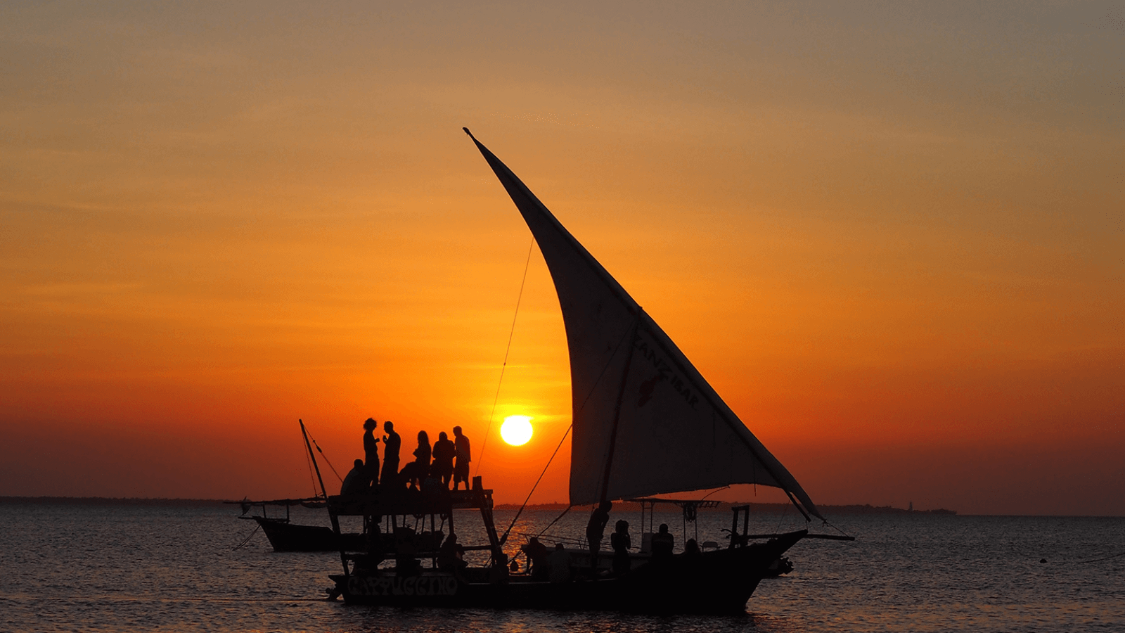
Set like a jewel in tranquil coral waters, only 20 minute scheduled flight or 70 minutes by speed boat from Dar es Salaam, is one of the world’s most beautiful islands ZANZIBAR – called ‘UNGUJA’ in Swahili. Its name evokes a romantic past. Zanzibar has for centuries been a center of attraction for merchants, seafarers, explorers, fortune hunters, missionaries, and invaders. The cultural heritage of the people of Zanzibar is a reminder of the past left by Summarians, Assyrians, Hindus, Egyptians, Portuguese, Arabs, Germans, and British, who left their mark on the islands. Kiswahili the local language is full of Arabic words, Hindu and Portuguese.

ZANZIBAR STONE TOWN

The Zanzibar Stone Town is about 150 years old covering an area of 96 hectares of residences, gardens, and bazaar streets. It is physical evidence of the rich cultural heritage of Arabs, Indians, and Europeans combined with the local African tradition. The Central Market (1904), the Anglican Church (built on the site of the former slave market), the old Arab fort, the Palace Museum, the House of Wonders (built-in 1883 by Sultan Bargash) and the Livingstone House. A walk along the narrow lanes of the Stone Town gives you an opportunity to see some splendid artifacts like miniature samples of the famous Arab doors and chests with their studded brass decorations.

"SPICE ISLAND"

The famous spices, such as cardamom, connamon, cloves, black pepper, nutmeg and many others are grown here. Also to be seen and tasted are different kinds of tropical fruits such as durian, Zanzibar apples (tufah) drupes (coconut) rambutans (lychees) and many others, not forgetting rare plants like the Henna, Perfume tree and Lipstick trees, e.t.c. The spice tour includes visits to some historical places such as Persian Baths at Kidichi built in 1850 by the first Sultan of Zanzibar Sayyid Said bin Sultan, for his Persian wife and Princess Shehzad, grand daughter of the famous Fateh Ali the then Shah of Persia. You will get the chance to visit Mangapwani Slave Caves.

The Jozani Forest situated 35 km Southeast of Zanzibar Town is the only remaining natural forest in UNGUJA ISLAND. A visit to the forest will give you a very rare opportunity to see different species of its flora and fauna. The forest is the refuge of the Red Columbus Monkey.

Prison Island

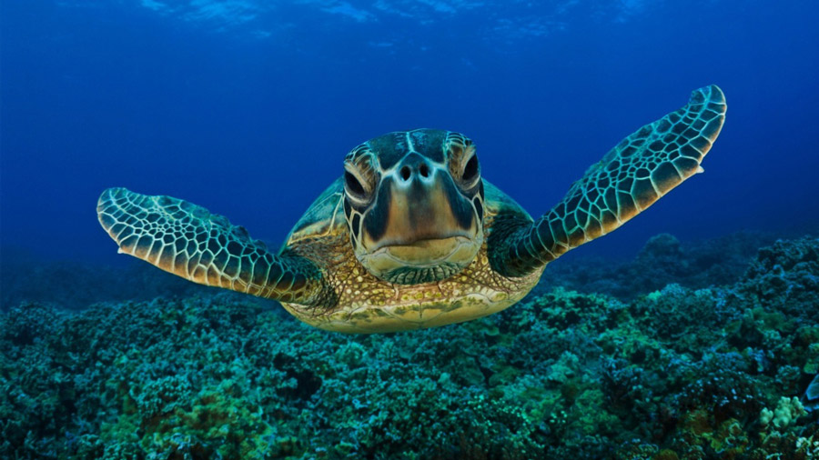
Prison Island (also known as Changuu Island) is an islet situated to the west of Zanzibar Town (about 30 minutes ride by motor boat), the islet measuring about half a mile long and one eighth of a mile wide, was formerly used slave owner as a private detention place for a disobedient slaves. It was then bought by General Mathews who constructed a jail in 1893 (and hence the name PRISON ISLAND was adopted). It was however never utilized as such but it still stands. At the moment the islet is a small TOURISM resort where you can relax, sunbathe, swim, snorkel, walk around and see the GIANT TORTOISES some as old as 100 years.

ACCOMODATION

MASHARIKI PALACE

Stone Town, Zanzibar: Exotic and mystical, evocative of the centuries of sultans, traders, adventurers and explorers who came to these magical isles of Zanzibar off the Swahili East African coast.

Leaving a cultural and architectural fusion which echoes its proud history of Persian, Arabian, Indian, Colonial and African influences.

Alternative Accommodation in Stone Town

Zanzibar Serena Inn Kisiwa House Zanzibar Palace Pyramid Hotel Seyyida Hotel Tembo Hotel

ESSQUE ZALU

Essque Zalu Zanzibar combines contemporary luxury with a real sense of place.

This boutique hotel has the turquoise waters of the Indian Ocean to one side and lush green forest to the other, and there is just a hint of spice in the warm and fragrant tropical air

Alternative Beach Hotels


Breezes Beach Club Baraza
The Palms
Kilindi

Diamonds Star of the East Gold Zanzibar
Pongwe Beach
Ras Nungwi

Blue Bay Beach Resort Matemwe Beach

Northern Route

9 DAYS TREK

Northern Circuit Route

Destinations.

Kilimanjaro Mountain

Hidden Valley safaris | Start Your Journey

Hidden Valley Safaris was founded to bring meaningful change to a challenging industry. The experience of our founder, guides, and tour consultants has shaped the quality of service we deliver to every client. Since 2009, we have organized professional mountain climbs for over 17 years, maintaining a 95% success rate with zero accidents on the mountain — a record made possible by the quality of our guides, equipment, and teams. Every climb includes sufficient oxygen cylinders for all clients, a comprehensive first aid kit, and enrollment with AMREF Flying Doctors for emergency air ambulance evacuation.

Mount Kilimanjaro Climb – Northern Circuit Route

The Northern Circuit Route is the longest and most scenic route on Kilimanjaro. It offers the best acclimatization profile, making it one of the easiest routes to succeed in reaching the summit despite its long duration. The route circles the mountain from the west to the north, providing stunning panoramic views and fewer crowds.

This route is ideal for adventurous trekkers who want a remote and peaceful climb, as it passes through less-traveled areas of Kilimanjaro. It follows the Lemosho Route for the first few days but then diverts north, offering a unique experience compared to other routes.

Highlights

  • Highest summit success rate – best acclimatization route
  • Longest and most scenic route – breathtaking 360° views
  • Least crowded – remote and peaceful trekking experience
  • Encounters with wildlife – possibility of seeing eland and buffalo
  • Challenges:

    • Requires more time (9 days) – higher cost compared to other routes
    • Physically demanding due to long duration
    • Colder nights due to extended high-altitude exposure

Itinerary

Comprehensive Travel Plan –
A detailed schedule outlining the journey.

Day 1: Londorosi Gate to Mti Mkubwa Camp

  • Elevation: 2,100m (6,890ft) → 2,850m (9,350ft)
  • Distance: 7 km (4.3 miles)
  • Hiking Time: 3–4 hours
  • Terrain: Rainforest

The adventure begins at Londorosi Gate, where climbers register and drive to the trailhead. The first hike takes climbers through lush rainforests, home to colobus monkeys and exotic birds. The trail is gentle but slightly muddy, making for an enjoyable introduction to the climb. The day ends at Mti Mkubwa Camp (Big Tree Camp), nestled in the forest.

Day 2: Mti Mkubwa Camp to Shira 1 Camp

  • Elevation: 2,850m (9,350ft) → 3,505m (11,500ft)
  • Distance: 8 km (5 miles)
  • Hiking Time: 5–6 hours
  • Terrain: Heath and Moorland

Leaving the rainforest behind, climbers enter the heath and moorland zone, with giant heather and lobelias covering the landscape. The trail climbs steadily toward the Shira Plateau, a vast high-altitude desert formed by volcanic activity. The day ends at Shira 1 Camp, where climbers get their first clear views of Kilimanjaro’s glaciers.

Day 3: Shira 1 Camp to Shira 2 Camp

  • Elevation: 3,505m (11,500ft) → 3,850m (12,630ft)
  • Distance: 7 km (4.3 miles)
  • Hiking Time: 3–4 hours
  • Terrain: Moorland

The hike across the Shira Plateau is relatively easy and gradual, allowing climbers to acclimatize while enjoying stunning views of Kibo Peak. The day ends at Shira 2 Camp, where trekkers will experience colder temperatures at night.

(An extra night at Shira 2 is sometimes included for acclimatization.)

Day 4: Shira 2 Camp to Moir Hut (Northern Circuit Begins)

  • Elevation: 3,850m (12,630ft) → 4,200m (13,780ft)
  • Distance: 9 km (5.6 miles)
  • Hiking Time: 5–7 hours
  • Terrain: Alpine Desert

Climbers now leave the southern routes and enter the Northern Circuit, a rarely traveled path that offers incredible views of the Kenyan plains. The trail ascends gradually, passing Lava Tower (4,600m / 15,091ft), a famous rock formation where climbers take a short break before descending slightly to Moir Hut, an isolated camp nestled beneath steep cliffs.

Day 5: Moir Hut to Buffalo Camp

  • Elevation: 4,200m (13,780ft) → 4,020m (13,190ft)
  • Distance: 12 km (7.5 miles)
  • Hiking Time: 5–7 hours
  • Terrain: Alpine Desert

This section is remote and rarely traveled, providing serene landscapes and excellent acclimatization. The trail includes a moderate ascent, offering breathtaking views of the glaciers, craters, and vast open plains. The day ends at Buffalo Camp, where the temperatures drop sharply at night.

Day 6: Buffalo Camp to Third Cave Camp

  • Elevation: 4,020m (13,190ft) → 3,870m (12,700ft)
  • Distance: 8 km (5 miles)
  • Hiking Time: 4–5 hours
  • Terrain: Alpine Desert

The trek continues through rugged terrain and rocky ridges, offering a sense of solitude not found on other Kilimanjaro routes. The views of the northern slopes and Kenyan savannah are spectacular. The hike is relatively short, allowing climbers to rest and further acclimatize at Third Cave Camp.

Day 7: Third Cave Camp to School Hut

  • Elevation: 3,870m (12,700ft) → 4,750m (15,580ft)
  • Distance: 10 km (6.2 miles)
  • Hiking Time: 4–6 hours
  • Terrain: Alpine Desert

The final day before the summit push is a gradual climb through barren landscapes leading to School Hut, the last high-altitude camp. Climbers eat early and rest in preparation for the midnight summit attempt.

Day 8: School Hut → Uhuru Peak → Mweka Camp

  • Elevation: 4,750m (15,580ft) → 5,895m (19,341ft) → 3,100m (10,170ft)
  • Distance: 20 km (12.4 miles)
  • Hiking Time: 12–16 hours
  • Terrain: Ice, Snow, and Rock

The summit attempt begins at midnight, following a steep, slow ascent to Gilman’s Point (5,685m). From here, climbers push forward along the crater rim to Uhuru Peak (5,895m), the highest point in Africa.

After celebrating at the summit, climbers descend back to School Hut, take a short break, and continue down to Mweka Camp, where the air feels richer in oxygen.

Day 9: Mweka Camp to Mweka Gate

  • Elevation: 3,100m (10,170ft) → 1,640m (5,380ft)
  • Distance: 10 km (6.2 miles)
  • Hiking Time: 4–5 hours
  • Terrain: Rainforest

The final descent through the rainforest leads to Mweka Gate, where climbers receive their summit certificates before heading back to Moshi or Arusha for well-earned celebrations.

Design Your Bespoke Safari Journey

The Northern Circuit is the ultimate route for trekkers who want the best chance of summiting Kilimanjaro with minimal crowds and stunning landscapes. It offers a gradual ascent, excellent acclimatization, and breathtaking views of both the northern and southern sides of Kilimanjaro.

Would you like help with packing lists, fitness preparation, or planning a safari after your climb?

Umbwe Route

6 or 7 DAYS TREK

Umbwe Route

Destinations.

Kilimanjaro Mountain

Hidden Valley safaris | Start Your Journey

Hidden Valley Safaris was founded to bring meaningful change to a challenging industry. The experience of our founder, guides, and tour consultants has shaped the quality of service we deliver to every client. Since 2009, we have organized professional mountain climbs for over 17 years, maintaining a 95% success rate with zero accidents on the mountain — a record made possible by the quality of our guides, equipment, and teams. Every climb includes sufficient oxygen cylinders for all clients, a comprehensive first aid kit, and enrollment with AMREF Flying Doctors for emergency air ambulance evacuation.

Mount Kilimanjaro Climb – Umbwe Route

The Umbwe Route is the steepest, most direct, and most challenging route on Kilimanjaro. It is best suited for experienced trekkers who are comfortable with rapid altitude gain and tough terrain. Unlike other routes, Umbwe offers little time for acclimatization, which results in a lower summit success rate. However, for those who are well-prepared, it provides a wild and thrilling adventure through dense rainforests, steep ridges, and rocky landscapes.

The Umbwe Route merges with the Machame Route at Barranco Camp, meaning climbers experience the scenic Southern Circuit before summiting via Stella Point. Due to the intensity of the ascent, the 7-day option is recommended for better acclimatization.

Highlights

  • Fastest ascent route – ideal for experienced hikers
  • Remote and quiet – fewer climbers, true wilderness experience
  • Challenging and adventurous – rewarding for skilled trekkers
  • Incredible scenery – steep ridges, dramatic cliffs, and glaciers
  • Challenges:

    • Very steep and strenuous – requires excellent fitness
    • Rapid altitude gain – higher risk of altitude sickness
    • Lower summit success rate – due to limited acclimatization

Itinerary

Comprehensive Travel Plan –
A detailed schedule outlining the journey.

Day 1: Umbwe Gate to Umbwe Cave Camp

  • Elevation: 1,600m (5,250ft) → 2,850m (9,350ft)
  • Distance: 11 km (7 miles)
  • Hiking Time: 5–7 hours
  • Terrain: Rainforest

The adventure begins at Umbwe Gate, where climbers register before starting the steep climb through the dense rainforest. This is one of the steepest ascents on Kilimanjaro, with twisting, narrow paths and exposed roots. The air is humid, and trekkers may see colobus monkeys and exotic birds. After an intense first day, the hike ends at Umbwe Cave Camp, located in a clearing surrounded by thick vegetation.

Day 2: Umbwe Cave Camp to Barranco Camp

  • Elevation: 2,850m (9,350ft) → 3,900m (12,800ft)
  • Distance: 6 km (3.7 miles)
  • Hiking Time: 4–5 hours
  • Terrain: Moorland and Rocky Ridges

The climb continues steeply upward, leaving the rainforest behind and entering the heath and moorland zone. The path follows a ridge with breathtaking views of Kilimanjaro’s southern slopes and valleys below. The vegetation becomes sparse as climbers approach Barranco Camp, where they join the Machame Route. This scenic valley, surrounded by towering cliffs and the famous Barranco Wall, offers a stunning sunset view of Kibo Peak.

Day 3: Barranco Camp to Karanga Camp (Acclimatization Day – Optional on 7-Day Route)

  • Elevation: 3,900m (12,800ft) → 4,200m (13,780ft) → 3,995m (13,106ft)
  • Distance: 5 km (3 miles)
  • Hiking Time: 4–5 hours
  • Terrain: Rock Scrambling and Alpine Desert

The day starts with the challenging climb up the Barranco Wall, a rocky scramble that requires using hands and feet at some points. Though steep, it is not technical and offers spectacular views over the Karanga Valley. After the scramble, the trail gently descends into the Karanga Valley before reaching Karanga Camp, where climbers rest for better acclimatization.

(For the 6-day itinerary, climbers skip this camp and go straight to Barafu Camp.)

Day 4: Karanga Camp to Barafu Camp

  • Elevation: 3,995m (13,106ft) → 4,673m (15,331ft)
  • Distance: 4 km (2.5 miles)
  • Hiking Time: 4–5 hours
  • Terrain: Alpine Desert

Climbers ascend through the rocky, barren terrain of the alpine desert, where oxygen levels drop, and temperatures become cold and windy. The climb is gradual but tough due to the high altitude. Upon arrival at Barafu Camp, climbers rest and eat early before preparing for the midnight summit push.

Day 5: Barafu Camp → Uhuru Peak → Mweka Camp

  • Elevation: 4,673m (15,331ft) → 5,895m (19,341ft) → 3,100m (10,170ft)
  • Distance: 17 km (10.5 miles)
  • Hiking Time: 12–16 hours
  • Terrain: Ice, Snow, and Rock

The summit attempt begins at midnight, with climbers navigating steep switchbacks in freezing temperatures. The first milestone is Stella Point (5,756m), where the sunrise over Africa creates an unforgettable moment. The final stretch to Uhuru Peak (5,895m) is tough but rewarding, offering breathtaking glacier views.

After celebrating at the summit, climbers descend back to Barafu Camp for a short rest, then continue to Mweka Camp, where the air feels rich in oxygen and the temperatures warm up considerably.

Day 6: Mweka Camp to Mweka Gate

  • Elevation: 3,100m (10,170ft) → 1,640m (5,380ft)
  • Distance: 10 km (6.2 miles)
  • Hiking Time: 4–5 hours
  • Terrain: Rainforest

The final stretch is a relaxing descent through the rainforest, where climbers soak in the last views of Kilimanjaro. Upon reaching Mweka Gate, climbers receive their summit certificates before heading back to Moshi or Arusha for a well-earned rest.

Design Your Bespoke Safari Journey

The Umbwe Route is perfect for strong, experienced trekkers who want a steep and fast climb with few crowds. If you prefer a more gradual ascent with better acclimatization, consider Lemosho or Machame.

Would you like help with gear lists, training tips, or safari extensions after the climb?

Rongai Route

8 DAYS TREK

Marangu Route

Destinations.

Kilimanjaro Mountain

Hidden Valley safaris | Start Your Journey

Hidden Valley Safaris was founded to bring meaningful change to a challenging industry. The experience of our founder, guides, and tour consultants has shaped the quality of service we deliver to every client. Since 2009, we have organized professional mountain climbs for over 17 years, maintaining a 95% success rate with zero accidents on the mountain — a record made possible by the quality of our guides, equipment, and teams. Every climb includes sufficient oxygen cylinders for all clients, a comprehensive first aid kit, and enrollment with AMREF Flying Doctors for emergency air ambulance evacuation.

Mount Kilimanjaro Climb – Marangu Route

The Rongai Route is the only route that approaches Mount Kilimanjaro from the north, near the Kenyan border. It is less crowded than other routes and offers a more gradual ascent, making it an excellent choice for beginners. The scenic landscapes, including views of the Kenyan plains, and the possibility of seeing wildlife like antelope and elephants, make Rongai a unique experience.

Despite its drier climate, Rongai provides good acclimatization opportunities, especially with the 7-day itinerary that includes an extra acclimatization day at Mawenzi Tarn Hut. The descent follows the Marangu Route, allowing climbers to experience both sides of Kilimanjaro.

Highlights

  • Less crowded – fewer climbers, peaceful experience
  • Gradual ascent – good for beginners
  • Drier conditions – less rain and mud than southern routes
  • High summit success rate (especially on 7-day itinerary)
  • Scenic views of the Kenyan plains
  • Challenges:

    • Less variety in scenery than other routes
    • More exposed and windy conditions in some sections
    • Long summit night (but all routes have this challenge)

Itinerary

Comprehensive Travel Plan –
A detailed schedule outlining the journey.

Day 1: Marangu Gate to Mandara Hut


  • Elevation: 1,870m (6,135ft) → 2,700m (8,858ft)
  • Distance: 8 km (5 miles)
  • Hiking Time: 3–5 hours
  • Terrain: Rainforest

The adventure begins at Marangu Gate, where climbers complete registration before starting their hike through the dense rainforest. The trail is well-maintained, with lush greenery, towering trees, and frequent wildlife sightings—including colobus monkeys and exotic birds. After a steady ascent, climbers arrive at Mandara Hut, where simple dormitory-style accommodations provide a comfortable overnight stay. Nearby, a short walk leads to the Maundi Crater, offering breathtaking views of Mawenzi Peak and Northern Tanzania.

Day 2: Mandara Hut to Horombo Hut

  • Elevation: 2,700m (8,858ft) → 3,720m (12,205ft)
  • Distance: 12 km (7.5 miles)
  • Hiking Time: 5–7 hours
  • Terrain: Rainforest to Moorland

Leaving the rainforest behind, the trail ascends into the moorland zone, where vegetation becomes sparser and temperatures begin to drop. The path offers incredible views of Mawenzi and Kibo peaks, with a noticeable change in the atmosphere as oxygen levels decrease. Climbers spend the night at Horombo Hut, a busy resting point for those ascending and descending the mountain.

Day 3: Acclimatization Day at Horombo Hut
(Optional – 6-day itinerary only)

  • Elevation: 3,720m (12,205ft) → 4,400m (14,435ft) → 3,720m (12,205ft)
  • Distance: 5 km (3 miles)
  • Hiking Time: 3–4 hours
  • Terrain: Moorland

For climbers choosing the 6-day itinerary, this day is dedicated to acclimatization, which increases summit success rates. A short trek to the Zebra Rocks (4,400m), named for their striped appearance, helps the body adjust to higher altitudes. After exploring the area, climbers return to Horombo Hut for another night.


Day 4: Horombo Hut to Kibo Hut

  • Elevation: 3,720m (12,205ft) → 4,703m (15,430ft)
  • Distance: 10 km (6 miles)
  • Hiking Time: 5–7 hours
  • Terrain: Alpine Desert

The trail gradually steepens as it enters the alpine desert zone, where harsh, dry conditions replace the lush landscapes of earlier days. The air is thinner, making breathing more difficult. Climbers pass the “Last Water Point” at 4,130m, meaning water must be carried from here to Kibo Hut. The final stretch leads to Kibo Hut, the last stop before the summit attempt.

Climbers rest at Kibo Hut for a few hours before the midnight summit push.

Day 5: Kibo Hut → Uhuru Peak → Horombo Hut

  • Elevation: 4,703m (15,430ft) → 5,895m (19,341ft) → 3,720m (12,205ft)
  • Distance: 21 km (13 miles)
  • Hiking Time: 12–16 hours
  • Terrain: Ice, snow, and rock

The summit attempt begins at midnight, with climbers slowly making their way up steep switchbacks toward Gilman’s Point (5,685m), where the first glimpse of the sunrise over Africa is seen. The final stretch to Uhuru Peak (5,895m) is challenging but rewarding, with breathtaking views of the glaciers and crater.

After a brief celebration at the summit, climbers descend back to Kibo Hut for rest, then continue to Horombo Hut, where oxygen levels improve and temperatures feel much warmer.

Day 6: Karanga Camp to Barafu Camp

  • Elevation: 4,035m (13,250ft) → 4,640m (15,200ft)
  • Distance: 4 km (2.5 miles)
  • Hiking Time: 4–5 hours
  • Terrain: Alpine Desert

The trek continues upward toward Barafu Camp, the final base camp before the summit attempt. The terrain is rocky, barren, and windswept, with little vegetation. Climbers arrive at Barafu in the afternoon and must rest as much as possible. After an early dinner, they sleep by 7 PM to prepare for the summit push. The temperature at night can drop to -10°C (14°F) or lower.

Day 6: Horombo Hut to Marangu Gate

  • Elevation: 3,720m (12,205ft) → 1,870m (6,135ft)
  • Distance: 20 km (12.5 miles)
  • Hiking Time: 5–6 hours
  • Terrain: Moorland to Rainforest

The final day is a long descent through the moorland and rainforest, with warmer temperatures and richer oxygen making for an easier walk. Upon reaching Marangu Gate, climbers receive their summit certificates before transferring back to Moshi or Arusha for a well-earned rest.

Design Your Bespoke Safari Journey

he Rongai Route is ideal for those who want a quiet, scenic, and gradual climb with a high success rate. The 7-day itinerary is recommended for better acclimatization, increasing the chances of reaching Uhuru Peak.

Would you like assistance with packing lists, gear recommendations, or planning a post-climb safari?

Marangu Route

8 DAYS TREK

Marangu Route

Destinations.

Kilimanjaro Mountain

Hidden Valley safaris | Start Your Journey

Hidden Valley Safaris was founded to bring meaningful change to a challenging industry. The experience of our founder, guides, and tour consultants has shaped the quality of service we deliver to every client. Since 2009, we have organized professional mountain climbs for over 17 years, maintaining a 95% success rate with zero accidents on the mountain — a record made possible by the quality of our guides, equipment, and teams. Every climb includes sufficient oxygen cylinders for all clients, a comprehensive first aid kit, and enrollment with AMREF Flying Doctors for emergency air ambulance evacuation.

Mount Kilimanjaro Climb – Marangu Route

The Marangu Route, also known as the “Coca-Cola Route,” is the oldest, most established, and only route with hut accommodations instead of tents. It is a direct and relatively easy path to Uhuru Peak (5,895m / 19,341ft), making it a popular choice for climbers seeking comfort and a shorter itinerary. However, due to its rapid ascent, acclimatization can be challenging, leading to a lower success rate compared to longer routes.

The standard itinerary takes five days, but a six-day option allows an extra day for better acclimatization at Horombo Hut. Below is a detailed breakdown of the 6-day itinerary for the Marangu Route.

Highlights

  • Only route with hut accommodations – avoids sleeping in tents
  • Shorter duration (5–6 days) – good for those with limited time
  • Direct ascent & descent – less scenic but faster than other routes
  • Lower success rate – due to quick altitude gain and fewer acclimatization days

Itinerary

Comprehensive Travel Plan –
A detailed schedule outlining the journey.

Day 1: Marangu Gate to Mandara Hut


  • Elevation: 1,870m (6,135ft) → 2,700m (8,858ft)
  • Distance: 8 km (5 miles)
  • Hiking Time: 3–5 hours
  • Terrain: Rainforest

The adventure begins at Marangu Gate, where climbers complete registration before starting their hike through the dense rainforest. The trail is well-maintained, with lush greenery, towering trees, and frequent wildlife sightings—including colobus monkeys and exotic birds. After a steady ascent, climbers arrive at Mandara Hut, where simple dormitory-style accommodations provide a comfortable overnight stay. Nearby, a short walk leads to the Maundi Crater, offering breathtaking views of Mawenzi Peak and Northern Tanzania.

Day 2: Mandara Hut to Horombo Hut

  • Elevation: 2,700m (8,858ft) → 3,720m (12,205ft)
  • Distance: 12 km (7.5 miles)
  • Hiking Time: 5–7 hours
  • Terrain: Rainforest to Moorland

Leaving the rainforest behind, the trail ascends into the moorland zone, where vegetation becomes sparser and temperatures begin to drop. The path offers incredible views of Mawenzi and Kibo peaks, with a noticeable change in the atmosphere as oxygen levels decrease. Climbers spend the night at Horombo Hut, a busy resting point for those ascending and descending the mountain.

Day 3: Acclimatization Day at Horombo Hut
(Optional – 6-day itinerary only)

  • Elevation: 3,720m (12,205ft) → 4,400m (14,435ft) → 3,720m (12,205ft)
  • Distance: 5 km (3 miles)
  • Hiking Time: 3–4 hours
  • Terrain: Moorland

For climbers choosing the 6-day itinerary, this day is dedicated to acclimatization, which increases summit success rates. A short trek to the Zebra Rocks (4,400m), named for their striped appearance, helps the body adjust to higher altitudes. After exploring the area, climbers return to Horombo Hut for another night.


Day 4: Horombo Hut to Kibo Hut

  • Elevation: 3,720m (12,205ft) → 4,703m (15,430ft)
  • Distance: 10 km (6 miles)
  • Hiking Time: 5–7 hours
  • Terrain: Alpine Desert

The trail gradually steepens as it enters the alpine desert zone, where harsh, dry conditions replace the lush landscapes of earlier days. The air is thinner, making breathing more difficult. Climbers pass the “Last Water Point” at 4,130m, meaning water must be carried from here to Kibo Hut. The final stretch leads to Kibo Hut, the last stop before the summit attempt.

Climbers rest at Kibo Hut for a few hours before the midnight summit push.

Day 5: Kibo Hut → Uhuru Peak → Horombo Hut

  • Elevation: 4,703m (15,430ft) → 5,895m (19,341ft) → 3,720m (12,205ft)
  • Distance: 21 km (13 miles)
  • Hiking Time: 12–16 hours
  • Terrain: Ice, snow, and rock

The summit attempt begins at midnight, with climbers slowly making their way up steep switchbacks toward Gilman’s Point (5,685m), where the first glimpse of the sunrise over Africa is seen. The final stretch to Uhuru Peak (5,895m) is challenging but rewarding, with breathtaking views of the glaciers and crater.

After a brief celebration at the summit, climbers descend back to Kibo Hut for rest, then continue to Horombo Hut, where oxygen levels improve and temperatures feel much warmer.

Day 6: Karanga Camp to Barafu Camp

  • Elevation: 4,035m (13,250ft) → 4,640m (15,200ft)
  • Distance: 4 km (2.5 miles)
  • Hiking Time: 4–5 hours
  • Terrain: Alpine Desert

The trek continues upward toward Barafu Camp, the final base camp before the summit attempt. The terrain is rocky, barren, and windswept, with little vegetation. Climbers arrive at Barafu in the afternoon and must rest as much as possible. After an early dinner, they sleep by 7 PM to prepare for the summit push. The temperature at night can drop to -10°C (14°F) or lower.

Day 6: Horombo Hut to Marangu Gate

  • Elevation: 3,720m (12,205ft) → 1,870m (6,135ft)
  • Distance: 20 km (12.5 miles)
  • Hiking Time: 5–6 hours
  • Terrain: Moorland to Rainforest

The final day is a long descent through the moorland and rainforest, with warmer temperatures and richer oxygen making for an easier walk. Upon reaching Marangu Gate, climbers receive their summit certificates before transferring back to Moshi or Arusha for a well-earned rest.

Design Your Bespoke Safari Journey

This route is best for climbers who prefer comfort and do not want to camp in tents. However, those seeking higher success rates might consider Lemosho or Machame, which offer better acclimatization.

Would you like help with gear recommendations, packing lists, or safari add-ons after the climb?

Lemosho route

8 DAYS TREK

Lemosho Route

Destinations.

Kilimanjaro Mountain

Hidden Valley safaris | Start Your Journey

Hidden Valley Safaris was founded to bring meaningful change to a challenging industry. The experience of our founder, guides, and tour consultants has shaped the quality of service we deliver to every client. Since 2009, we have organized professional mountain climbs for over 17 years, maintaining a 95% success rate with zero accidents on the mountain — a record made possible by the quality of our guides, equipment, and teams. Every climb includes sufficient oxygen cylinders for all clients, a comprehensive first aid kit, and enrollment with AMREF Flying Doctors for emergency air ambulance evacuation.

Mount Kilimanjaro Climb – Lemosho Route

The Lemosho Route is one of the most scenic and less crowded paths to the summit of Mount Kilimanjaro. It is known for its gradual ascent, breathtaking landscapes, and excellent acclimatization profile. The route approaches the mountain from the west, crossing lush rainforests, moorlands, and alpine deserts before merging with the Machame Route at Shira Camp. With its longer duration (7–8 days), Lemosho offers a higher success rate than many other routes, making it an excellent choice for those who want a challenging yet rewarding trek.

Below is a detailed day-by-day breakdown of the 8-day Lemosho Route itinerary.

Highlights

  • Best Route for Acclimatization – “Climb high, sleep low” principle increases success rates.
  • Scenic and Varied Landscapes – Rainforest, moorland, alpine desert, and glaciers.
  • Moderate to Challenging – Requires good fitness but no technical climbing skills.
  • Cold Nights and High Winds – Proper layering is essential.
  • Hydration & Nutrition – Drink plenty of water and eat well to maintain energy.

Itinerary

Comprehensive Travel Plan –
A detailed schedule outlining the journey.

Day 1: Londorosi Gate to Mti Mkubwa Camp

  • Elevation: 2,100m (6,890ft) → 2,820m (9,250ft)
  • Distance: 7 km (4.3 miles)
  • Hiking Time: 3–4 hours
  • Terrain: Rainforest

The adventure begins at Londorosi Gate, where climbers complete park registration before a short drive to the trailhead. The first section of the trek winds through a lush rainforest, with towering trees, vines, and a humid atmosphere. Wildlife such as colobus monkeys, blue monkeys, and exotic birds can be spotted along the trail. The trek is relatively short but helps climbers ease into the journey. The night is spent at Mti Mkubwa Camp (“Big Tree Camp”), where temperatures remain mild.

Day 2: Mti Mkubwa Camp to Shira 1 Camp

  • Elevation: 2,820m (9,250ft) → 3,505m (11,500ft)
  • Distance: 8 km (5 miles)
  • Hiking Time: 5–6 hours
  • Terrain: Rainforest to Moorland

Leaving the rainforest behind, the trail ascends into the moorland zone, where the landscape changes dramatically. The vegetation becomes sparser, with heather, giant lobelias, and Senecio trees dominating the scenery. The air is noticeably thinner, and climbers may start to feel mild altitude effects. The hike continues across the Shira Plateau, an ancient volcanic caldera offering stunning views of Kilimanjaro’s peak. Camp is set up at Shira 1, where the night is cold but offers incredible views of the starry sky.

Day 3: Shira 1 Camp to Shira 2 Camp

  • Elevation: 3,505m (11,500ft) → 3,840m (12,600ft)
  • Distance: 7 km (4.3 miles)
  • Hiking Time: 4–5 hours
  • Terrain: Moorland

This is a shorter and easier day, designed for acclimatization. The trail gradually ascends across the Shira Plateau, offering panoramic views of Kibo Peak. Climbers pass through rocky terrain, with unique flora adapted to the harsh conditions. Upon reaching Shira 2 Camp, climbers have the afternoon to rest and adjust to the altitude. The temperatures drop significantly at night, often reaching below freezing.

Day 4: Shira 2 Camp to Barranco Camp (via Lava Tower)

  • Elevation: 3,840m (12,600ft) → 4,630m (15,190ft) → 3,960m (13,000ft)
  • Distance: 10 km (6 miles)
  • Hiking Time: 6–8 hours
  • Terrain: Alpine Desert

This day follows the “climb high, sleep low” strategy, which is crucial for acclimatization. The trek ascends gradually to Lava Tower (4,630m), a volcanic rock formation where many climbers experience altitude symptoms like headaches. After a short break at Lava Tower, the trail descends into the beautiful Barranco Valley, where the air becomes richer in oxygen. Barranco Camp sits below the imposing Barranco Wall, a steep but non-technical rock face that will be climbed the next day.

Day 5: Barranco Camp to Karanga Camp


  • Elevation: 3,960m (13,000ft) → 4,035m (13,250ft)
  • Distance: 5 km (3 miles)
  • Hiking Time: 4–5 hours
  • Terrain: Rocky

The day begins with a challenging but rewarding climb up the Barranco Wall, a 300m rock scramble requiring the use of hands in some sections. Once at the top, the trail eases out, with gentle ups and downs leading to Karanga Camp. This is a shorter hiking day, allowing more time to rest and acclimatize before the final ascent. The night is cold and windy, with temperatures dropping well below freezing.

Day 6: Karanga Camp to Barafu Camp

  • Elevation: 4,035m (13,250ft) → 4,640m (15,200ft)
  • Distance: 4 km (2.5 miles)
  • Hiking Time: 4–5 hours
  • Terrain: Alpine Desert

The trek continues upward toward Barafu Camp, the final base camp before the summit attempt. The terrain is rocky, barren, and windswept, with little vegetation. Climbers arrive at Barafu in the afternoon and must rest as much as possible. After an early dinner, they sleep by 7 PM to prepare for the summit push. The temperature at night can drop to -10°C (14°F) or lower.

Day 7: Barafu Camp → Uhuru Peak → Mweka Camp

  • Elevation: 4,640m (15,200ft) → 5,895m (19,341ft) → 3,100m (10,200ft)
  • Distance: 17 km (10.5 miles)
  • Hiking Time: 10–14 hours
  • Terrain: Ice, snow, and rock

Summit day begins at midnight, with climbers setting off in freezing conditions (-20°C / -4°F). The slow, steep climb to Stella Point (5,756m) is mentally and physically demanding. After a short rest, a final push leads to Uhuru Peak (5,895m), the highest point in Africa.

After celebrating and taking in the breathtaking sunrise, climbers descend back to Barafu Camp for a short rest before continuing to Mweka Camp, where the air is richer and temperatures warmer.

Day 8: Mweka Camp to Mweka Gate

  • Elevation: 3,100m (10,200ft) → 1,640m (5,380ft)
  • Distance: 10 km (6 miles)
  • Hiking Time: 3–4 hours
  • Terrain: Rainforest

The final day is an easy descent through the rainforest, where the air feels thick and refreshing. Climbers often feel relieved and accomplished as they approach Mweka Gate, where they receive their summit certificates. From here, they are transferred back to Arusha or Moshi for celebrations and well-deserved rest.

Design Your Bespoke Safari Journey

The Lemosho Route is ideal for those looking for a scenic, less crowded, and highly successful trek to Kilimanjaro’s summit. With a gradual ascent and plenty of time for acclimatization, it offers one of the highest success rates among all routes. Proper preparation, pacing, and hydration are essential for a successful climb.

Would you like help with packing lists, gear recommendations, or booking assistance?

Machame Route

7 DAYS TREK

Machame Route

Destinations.

Kilimanjaro Mountain

Hidden Valley safaris | Start Your Journey

Hidden Valley Safaris was founded to bring meaningful change to a challenging industry. The experience of our founder, guides, and tour consultants has shaped the quality of service we deliver to every client. Since 2009, we have organized professional mountain climbs for over 17 years, maintaining a 95% success rate with zero accidents on the mountain — a record made possible by the quality of our guides, equipment, and teams. Every climb includes sufficient oxygen cylinders for all clients, a comprehensive first aid kit, and enrollment with AMREF Flying Doctors for emergency air ambulance evacuation.

Mount Kilimanjaro Climb – Machame Route

The Machame Route, often called the “Whiskey Route,” is one of the most popular and scenic paths to the summit of Mount Kilimanjaro. Known for its stunning views, diverse landscapes, and high success rate due to excellent acclimatization, this 7-day trek allows climbers to experience rainforests, moorlands, alpine deserts, and glaciers before reaching Uhuru Peak (5,895m / 19,341ft), the highest point in Africa. The route involves some steep sections, including the famous Barranco Wall, but does not require technical climbing skills.

Climbers must be physically prepared and expect altitude challenges, especially on summit night. The journey follows the “climb high, sleep low” strategy, improving acclimatization and increasing the chances of a successful ascent. Below is a detailed breakdown of each day’s trek.

Highlights

  • Best Route for Acclimatization – “Climb high, sleep low” principle increases success rates.
  • Scenic and Varied Landscapes – Rainforest, moorland, alpine desert, and glaciers.
  • Moderate to Challenging – Requires good fitness but no technical climbing skills.
  • Cold Nights and High Winds – Proper layering is essential.
  • Hydration & Nutrition – Drink plenty of water and eat well to maintain energy.

Itinerary

Comprehensive Travel Plan –
A detailed schedule outlining the journey.

Day 1: Machame Gate to Machame Camp

The journey begins at Machame Gate, where climbers register with the park authorities before starting the ascent. The first day’s hike takes you through a lush rainforest, characterized by tall trees, thick undergrowth, and a humid atmosphere. The well-defined trail can be muddy and slippery, especially after rain, so good trekking boots are essential. This section is home to various wildlife, including blue monkeys, colobus monkeys, and tropical birds. As you ascend, the dense forest gradually thins out, and after several hours of trekking, you arrive at Machame Camp. Nighttime temperatures drop significantly, so warm clothing is necessary.

  • Elevation: 1,640m (5,380ft) → 2,835m (9,300ft)
  • Distance: 11 km (7 miles)
  • Hiking Time: 5–7 hours
  • Terrain: Rainforest

Day 2: Machame Camp to Shira Camp

  • Elevation: 2,835m (9,300ft) → 3,840m (12,600ft)
  • Distance: 5 km (3 miles)
  • Hiking Time: 4–6 hours
  • Terrain: Moorland

The second day begins with a steep ascent, leaving the rainforest behind and entering the moorland zone. The vegetation changes dramatically, with giant lobelias and Senecio trees dotting the landscape. This is the first real challenge of the climb, as the air gets thinner, and some climbers may experience mild altitude symptoms like headaches. The Shira Plateau offers incredible panoramic views of Kilimanjaro’s peak and Mount Meru in the distance. After reaching Shira Camp, temperatures drop further, often below freezing at night, making this a much colder night than the previous one.

Day 3: Shira Camp to Barranco Camp (via Lava Tower)

  • Elevation: 3,840m (12,600ft) → 4,630m (15,190ft) → 3,960m (13,000ft)
  • Distance: 10 km (6 miles)
  • Hiking Time: 6–8 hours
  • Terrain: Alpine Desert

This day is crucial for acclimatization, as the route follows the “climb high, sleep low” principle. The trek gradually ascends to Lava Tower (4,630m / 15,190ft), a volcanic formation where altitude sickness symptoms may become more noticeable. The landscape becomes rocky and barren, resembling an alpine desert with very little vegetation. After a short break at Lava Tower, the trail descends sharply to Barranco Camp, giving your body time to adjust to lower altitudes. The camp is surrounded by the breathtaking Barranco Valley, with views of the imposing Barranco Wall, which will be climbed the next day.

Day 4: Barranco Camp to Karanga Camp

  • Elevation: 3,960m (13,000ft) → 4,035m (13,250ft)
  • Distance: 5 km (3 miles)
  • Hiking Time: 4–5 hours
  • Terrain: Rocky

The day starts with an exciting challenge: climbing the Barranco Wall, a near-vertical rock face that requires some scrambling but is not technically difficult. It takes 1–2 hours to scale the wall, and the reward is a stunning view of Kilimanjaro’s glaciers. After conquering the Barranco Wall, the trail follows a series of rolling hills, leading to Karanga Camp, where climbers rest before heading toward the final base camp. This is a shorter trek, allowing more time for recovery and acclimatization. At night, the temperature drops below freezing, and the air becomes increasingly thin.

Day 5: Karanga Camp to Barafu Camp

  • Elevation: 4,035m (13,250ft) → 4,640m (15,200ft)
  • Distance: 4 km (2.5 miles)
  • Hiking Time: 4–5 hours
  • Terrain: Alpine Desert

The ascent continues through an arid and rocky landscape toward Barafu Camp, the final stop before the summit attempt. The air is thin, making every step feel more exhausting. Barafu means “ice” in Swahili, which reflects the harsh, windy, and extremely cold conditions here. Climbers reach camp in the afternoon and are advised to rest as much as possible before the final ascent. After an early dinner, most climbers sleep by 7 PM to prepare for a midnight wake-up call for the summit push.

Day 6: Barafu Camp → Uhuru Peak → Mweka Camp

  •  Elevation: 4,640m (15,200ft) → 5,895m (19,341ft) → 3,100m (10,200ft)
  • Distance: 17 km (10.5 miles)
  • Hiking Time: 10–14 hours
  • Terrain: Ice, snow, rock

The most challenging and rewarding day begins just before midnight. Climbers set out in freezing temperatures (-20°C / -4°F), using headlamps to navigate the steep and slow climb to Stella Point (5,756m). This section is both mentally and physically exhausting, requiring strong determination. After Stella Point, a final push leads to Uhuru Peak (5,895m), the highest point in Africa. Reaching the summit at sunrise offers breathtaking views of glaciers, the crater, and the vast landscape below.

After celebrating and taking photos, the descent begins. Climbers return to Barafu Camp for a short rest before continuing down to Mweka Camp, where the air is richer in oxygen and the temperature is much warmer.

Day 7: Mweka Camp to Mweka Gate

  • Elevation: 3,100m (10,200ft) → 1,640m (5,380ft)
  • Distance: 10 km (6 miles)
  • Hiking Time: 3–4 hours
  • Terrain: Rainforest

The final day is a relaxed descent through the rainforest, where the air becomes warmer and more humid. Climbers often feel refreshed and energized after conquering the summit. Upon reaching Mweka Gate, climbers receive their summit certificates, marking the successful completion of the Kilimanjaro climb. From here, they are transferred back to Arusha or Moshi for celebrations and much-needed rest.

Design Your Bespoke Safari Journey

Mountain Climbing

Mountain climbing

Hidden Valley safaris | Start Your Journey

Hidden Valley Safaris came into this challenging industry to bring the change that was required. The experience that came with founder, the team of guides and tour consultants has significant impact towards quality of service that we offer to our clients. Since its establishment in 2009 Hidden Valley Safari is organizing professional quality climbs, for 17 + years down the line we have recoded 95% success rate for all our climbers and no single accident on the mountain. Quality of guides, equipment and teams has always made this possible. All our climbs goes up with enough oxygen cylinders to cover all clients, comprehensive first aid medical kit, all our clients get booked to Amrefy Flying Doctors to provide air ambulance helicopter to evacuate incase of serious medical emergency

Birdwatching and Bird Photography Safari in Tanzania

5 DAYS TOUR

Birdwatching and Bird Photography Safari in Tanzania

Destinations.

Serengeti National Park, Ngorongoro Crater, Tarangire,

A Paradise for Avian Enthusiasts

Experience Tanzania through the lens of a birdwatcher and photographer on this exclusive 5-day Birdwatching and Bird Photography Safari. From the lush forests of Tarangire to the serene shores of Lake Manyara, this safari offers a rich variety of habitats that attract hundreds of bird species, both migratory and resident. Whether you’re an experienced bird photographer or a beginner, this safari promises unparalleled opportunities to capture stunning images of some of the world’s most colorful and elusive birds in their natural habitats.

Highlights

  • Tarangire’s Baobab Forest: A perfect backdrop for photographing birds such as African grey hornbills, yellow-collared lovebirds, and red-and-yellow barbets.
  • Lake Manyara: Known for its diverse birdlife, including flamingos, pelicans, and black-crowned cranes.
  • Early morning and evening birdwatching opportunities, providing ideal lighting for capturing bird portraits and action shots.
  • Capture dramatic photos of migratory and resident birds in diverse ecosystems ranging from wetlands to savannahs and forests.
  • Professional guidance on the best techniques for bird photography, with a focus on patience and timing to capture perfect moments.

Itinerary

Comprehensive Travel Plan –
A detailed schedule outlining the journey.

Day 1: Arrival in Arusha – Transfer to Tarangire National Park

Upon your arrival at Kilimanjaro International Airport, you’ll be greeted by your knowledgeable guide who will take you on a scenic drive to Tarangire National Park. Famous for its baobab trees and large elephant herds, Tarangire is also a birdwatching haven. As you settle into your accommodations, take your first birdwatching excursion, where you’ll have the chance to photograph a variety of bird species, such as yellow-collared lovebirds, African grey hornbills, and red-and-yellow barbets. The park’s wetlands and savannahs are home to an impressive variety of birds, making it a great starting point for your bird photography adventure.

Day 2: Tarangire National Park – Full Day of Birdwatching

Spend the day exploring Tarangire, known for its diverse birdlife. Early morning offers the best light for capturing the most active birds, including tawny eagles, white-headed vultures, and the elegant African fish eagle perched along the Tarangire River. As you venture through the park’s varied ecosystems, you’ll photograph an array of species from majestic raptors to delicate songbirds. The dry savannah and riparian habitats provide an ever-changing landscape, offering the perfect backdrop for your bird photography.

Day 3: Tarangire to Lake Manyara National Park

In the morning, enjoy a scenic drive to Lake Manyara National Park, which is renowned for its rich birdlife and beautiful landscapes. The park is famous for its diverse habitats, including woodlands, wetlands, and the lake itself, making it an ideal destination for birdwatchers. As you arrive, you’ll be treated to the sight of flamingos in the shallow waters of the lake, great white pelicans gliding through the sky, and a variety of eagles hunting along the shores. The park’s lush forest is also home to blue monkeys, yellow-billed storks, and purple herons, all of which provide amazing photographic opportunities.

Day 4: Lake Manyara National Park – Full Day of Birdwatching

Take a full day to explore Lake Manyara and its surroundings, where you’ll have the chance to capture an array of bird species in various habitats. In the early morning, as the mist lifts from the lake, you can capture dramatic shots of flamingos wading through the waters, surrounded by the silhouettes of marabou storks and African spoonbills. The park’s forests are also teeming with colorful paradise flycatchers, green woodhoopoes, and red-cheeked cordon-bleus. Along the lake’s shoreline, black-crowned cranes and greater flamingos often create a striking contrast against the deep blue waters.

Day 5: Lake Manyara to Arusha – Departure

On your final morning, enjoy a peaceful birdwatching excursion in Lake Manyara. Capture the last images of the park’s rich birdlife, such as the white-faced whistling ducks and violet-backed starling, before heading back to Arusha. After a relaxing lunch, your guide will transfer you to the airport for your departure, marking the end of a truly unforgettable birdwatching and bird photography safari in Tanzania.

Design Your Bespoke Safari Journey